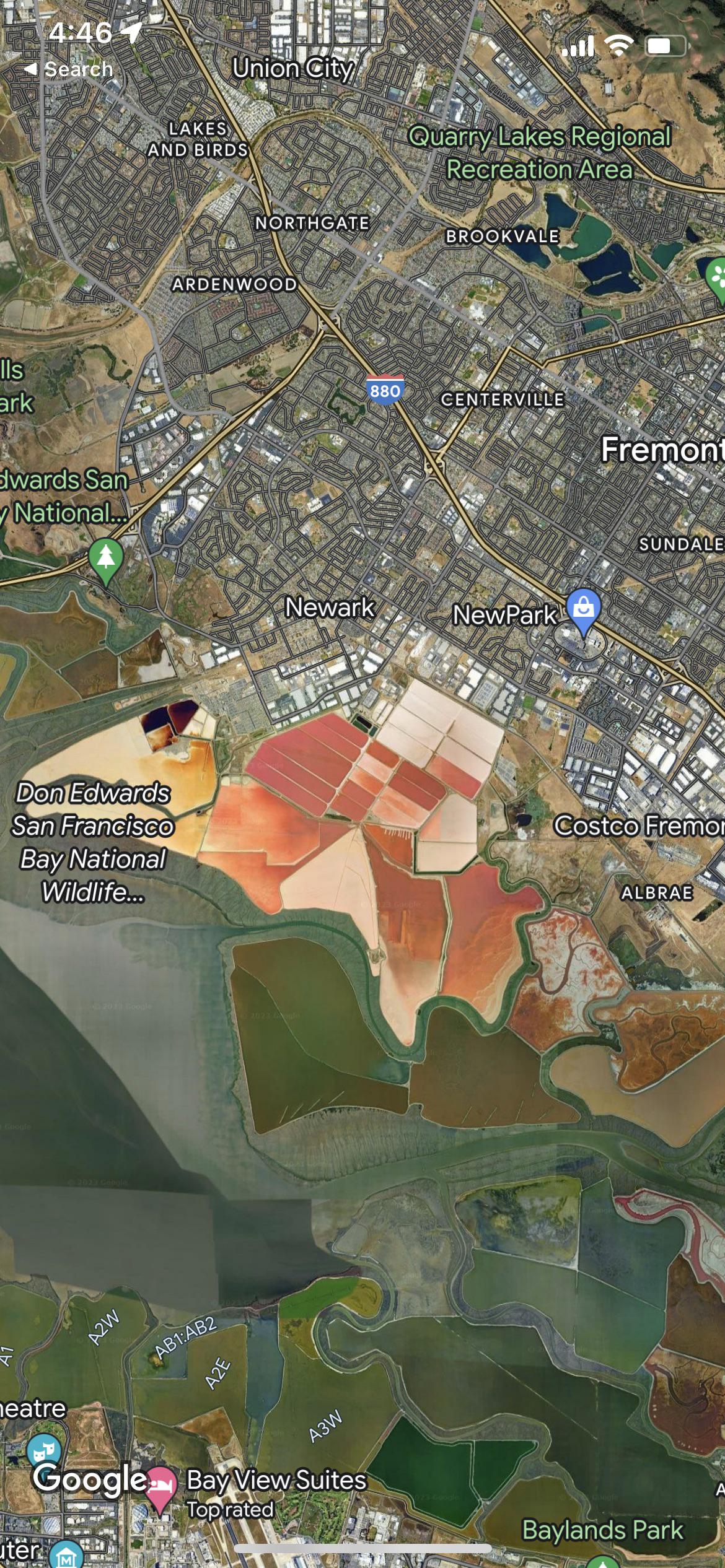
Satellite view shows ‘weird’ part of San Francisco – But do you know what it is?

This satellite view of San Francisco recently went viral. And it turns out that a staggering amount of locals didn’t know what it was – despite living in very close proximity. Specifically, we’re talking about the red and yellow parts of the map in the middle.
Studying the picture, it almost looks alien compared to the rest of the map, and divides the city in between urban and green areas. No, this isn’t some kind of glitch either – the red parts are genuine and they’re actually right in the heart of San Francisco.

For those still wondering – the site in question is the Cargill salt ponds. Interestingly, these ponds are also populated by thousands of shrimp and brine and it has its own ecosystem. Not to mention, this area is the largest return land to nature wetlands in the USA.

Put simply, these ponds are stunning and look like something from a science fiction movie
In other words, there’s quite a lot of quirky history surrounding this place. Sadly, most of this site is off-access to pedestrians though, which isn’t exactly a bad thing because other than the curious, wandering around salt ponds doesn’t exactly sound like a fun time.
So there you have it. Although San Francisco may seem like a bit of a metropolis these days, it still has some pretty cool, natural features located here.